This short course has been cancelled.
Presented by: Drone North
This short course is aimed at providing mining and exploration professionals with a basic understanding of how best to incorporate drone surveys into modern mineral exploration and mining workflows. The course is divided into three sections including:
- Basic introduction to drone platforms, safe operations in exploration and mining programs, regulatory considerations, when and when not to contract UAV operators for survey work and overview of general costing to expect.
- Presentations summarizing both geophysical and non-geophysical sensors that are most commonly used in mining and exploration programs. Different speakers will present case studies to highlight best case scenarios for using different sensors.
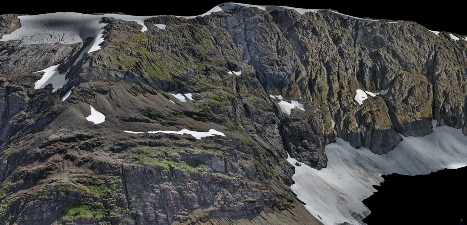
- The final section will focus of demonstrating different ways to use different drone survey datasets. An overview of Canada-wide rules of using drone surveys for assessment credits, and live demonstration of digital 3D geological mapping software (HiveMapTM) from SRK Consulting Inc., and the use of Artificial Intelligence and Machine Learning for analysis and target generation using high resolution drone survey datasets (ALS GeoAnalytics)
The course is not focused on teaching attendees how to operate drone equipment or any image processing procedures. By the end of the course, attendees will understand the capabilities and limitations of drones for both geophysical and non-geophysical surveys, gain an understanding of how and when to integrate drones into exploration and mining projects and gain practical insights into workflows that translate different drone sensor datasets into meaningful outcomes for exploration and mining programs.

